Highway Markers
Civil War Sniper
Marker Number: 881
Location: US 68 & KY 453
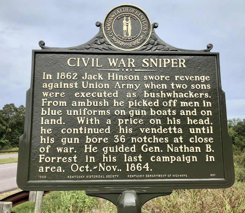
In 1862 Jack Hinson swore revenge against Union Army when two sons were executed as bushwhackers. From ambush he picked off men in blue uniforms on gun boats and on land. With a price on his head, he continued his vendetta until his gun bore 36 notches at close of war. He guided Gen. Nathan B. Forrest in his last campaign in area, Oct.-Nov., 1864.
Erected in 1965.
County Named, 1820
Marker Number: 1159
Location: Cadiz, Main St. & Court St.
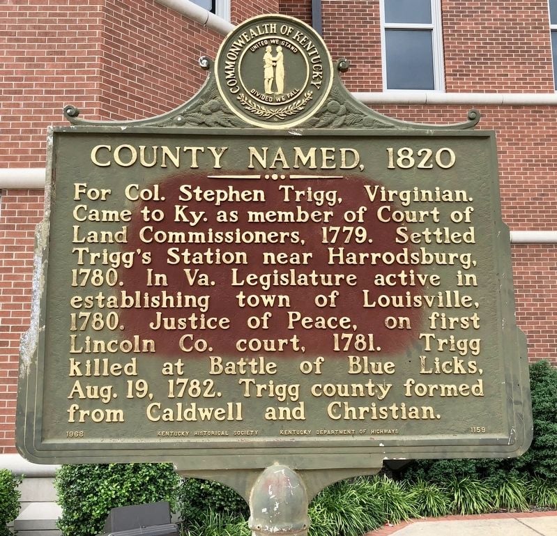
For Col. Stephen Trigg, Virginian. Came to Ky. as member of Court of Land Commissioners, 1779. Settled Trigg's Station near Harrodsburg, 1780. In Va. Legislature was active in establishing town of Louisville, 1780. Justice of Peace, on first Lincoln Co. court, 1781. Trigg killed at Battle of Blue Licks, Aug. 19, 1782. Trigg County formed from Caldwell and Christian.
Erected in 1968.
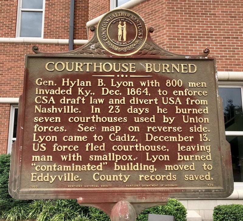
Courthouse Burned
Marker Number: 578
Location: Cadiz, Main St. & Monroe St.
Gen. Hylan B. Lyon with 800 men invaded Ky., Dec. 1864, to enforce CSA draft law and divert USA from Nashville. In 23 days he burned seven courthouses used by Union forces. See map on reverse side. Lyon came to Cadiz, December 13. US force fled courthouse, leaving man with smallpox. Lyon burned "contaminated" building, moved to Eddyville. County records saved.
Erected in 1963.
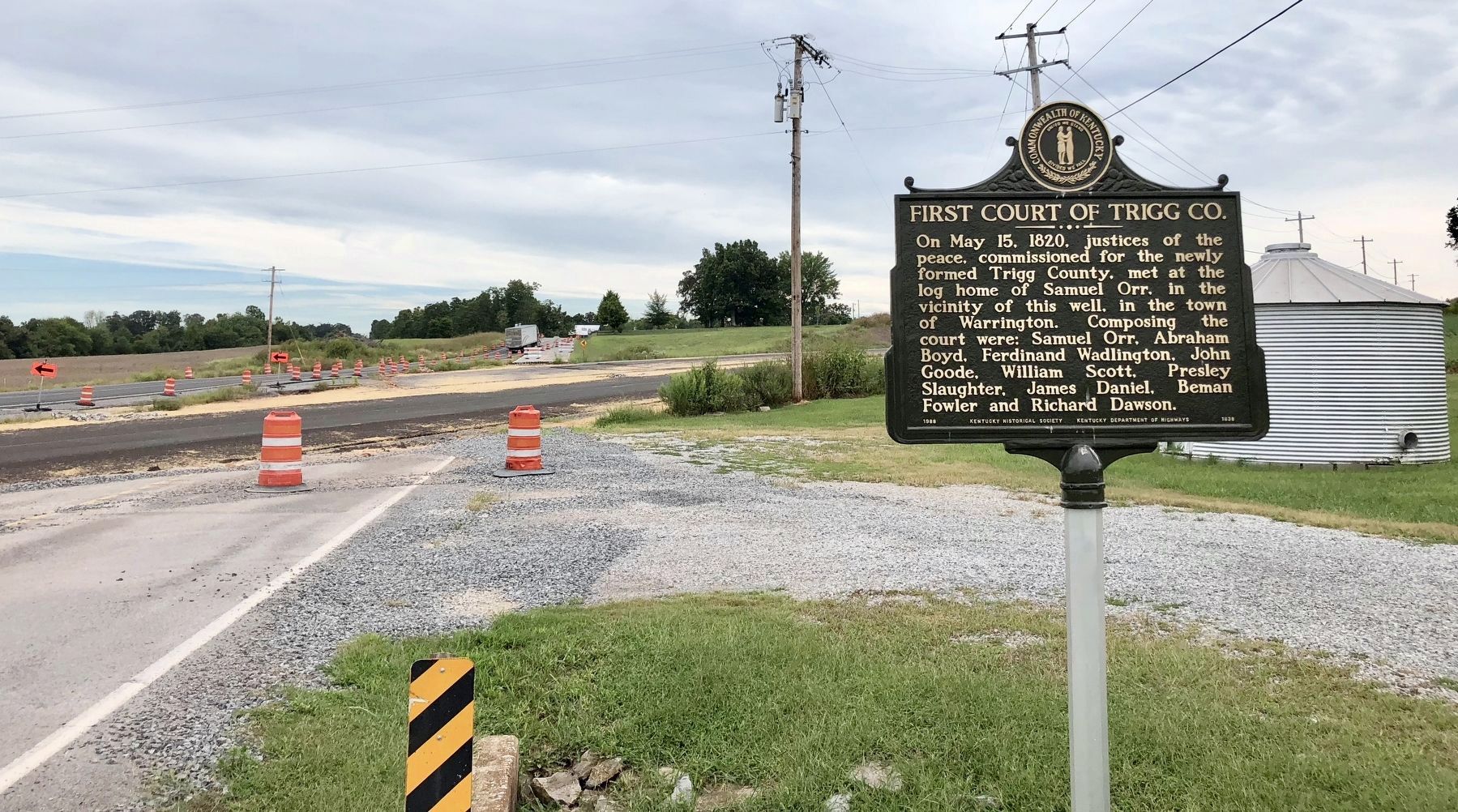
First Court of Trigg County
Marker Number: 1838
Location: Looking south towards the new realignment of U.S. Highway 68.
On May 15, 1820, justices of the peace, commissioned for the newly formed Trigg County, met at the log home of Samuel Orr, in the vicinity of this well, in town of Warrington. Composing the court were: Samuel Orr, Abraham Boyd, Ferdinand Wadlington, John Goode, William Scott, Presley Slaughter, James Daniel, Beman Fowler and Richard Dawson.
Erected in 1988.
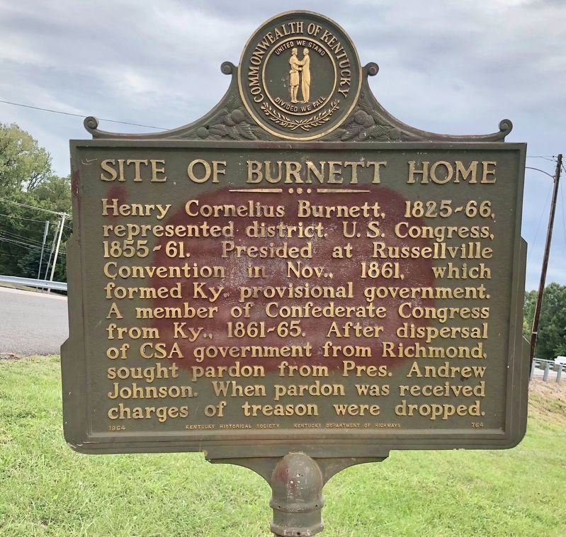
Site of Burnett Home
Marker Number: 764
Location: Main St & Hamilton St, by the West Cadiz Park
Henry Cornelius Burnett, 1825-66, represented district, U.S. Congress, 1855-61. Presided at Russellville Convention in Nov., 1861, which formed Ky. provisional government. A member of Confederate Congress from Ky., 1861-65. After dispersal of CSA government from Richmond, sought pardon from Pres. Andrew Johnson. When pardon was received, charges of treason were dropped.
Erected in 1964.
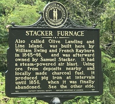
Stacker Furnace / Iron Made in Kentucky
Marker Number: 1367
Location: Intersection of Linton Road & Majestic Drive/Ferry Landing Road
Also called Olive Landing and Line Island, was built here by William Ewing and French Rayburn in 1845-46, and was afterward owned by Samuel Stacker. It had a steam-powered air blast. Using ore from deposits nearby and locally made charcoal fuel, it produced pig iron at intervals until 1856, when it was finally abandoned. See the other side.
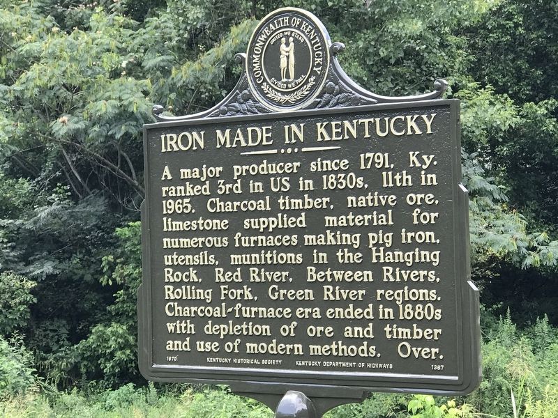
A major producer since 1791, Ky. ranked 3rd in US in 1830s, 11th in 1965. Charcoal timber, native ore, limestone supplied material for numerous furnaces making pig iron, utensils, munitions in the Hanging Rock, Red River, Between Rivers, Rolling Fork, Green River regions. Charcoal-furnace era ended in 1880s with depletion of ore and timber and use of modern methods. Over.
Erected in 1970.
Trigg County Confederate Memorial
Marker Number:
Location: Cadiz, Main St. & Monroe St.
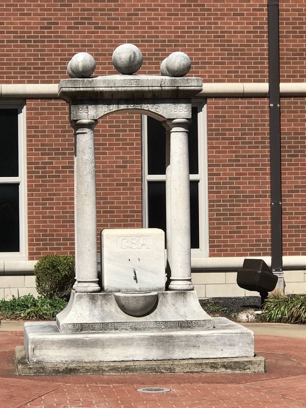
1861 Confederate 1865
In memory of the Confederate soldiers of Trigg County.
Erected in 1913.
Trigg County War Memorial
Marker Number:
Location: Cadiz, Main St. & Court St.
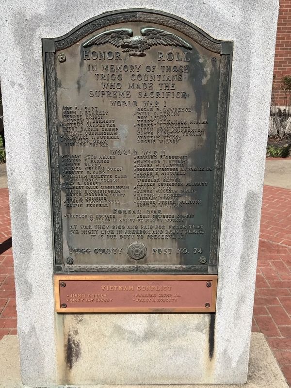
In memory of those Trigg Countians
who made the supreme sacrifice
World War I
Joe F. Ahart • John J. Blakely • George Brison • Andrew J. Burnett • ★ Arthur Carpenter • West Harris Crump • Willie Cunningham • ★ Hayward F. Futrell • ★ Schuyler Gray • Richard Hunter • Oscar R. Lawrence • ★ Will G. Lemons • Roy Lewis • Terry Alexander Miller • ★ Robert L. Mitchell • Alton Ross Poindexter • James Garnett Thomas • Stokely Vinson • Archie Wilson
★ Charles H. Howard • John Cowherd Street
★ Killed in action or died of wounds
At war they died and paid for peace, that
we might live in freedom, and enjoy peace.
It is our duty to preserve it.
(Plaque at bottom)
★ Jimmie F. Boren • ★ Ricky Fay Cossey • ★ Buckner Crump, Jr. •
Erected in 1965.
Cavalry vs. Gunboat
Marker Number: 619
Location: Canton Road (U.S. 68) east of Mound Road, on the right when traveling west
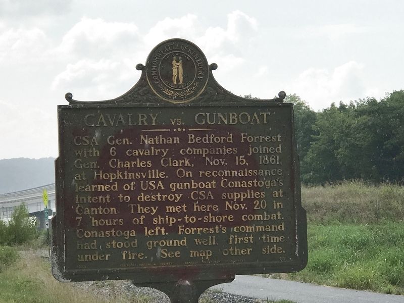
CSA General Nathan Bedford Forrest with 6 cavalry companies joined Gen. Charles Clark, Nov. 15, 1861, at Hopkinsville. On reconnaissance learned of USA gunboat Conestoga's intent to destroy CSA supplies at Canton. They met here November 20 in 7 hours of ship-to-shore combat. Conestoga left. Forrest's command had stood ground well, first time under fire. See map other side.
Erected in 1963.
Cerulean Springs
Marker Number:
Location: Intersection of Cobb Rd & Cerulean Bainbride Rd
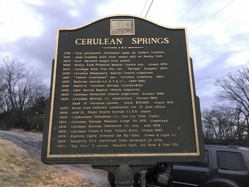
Cerulean Springs
1792 - First permanent settlement made by Robert Goodwin.
1797 - Jesse Goodwin built first water mill on Muddy Fork.
1803 - Prof. Maxwell taught first school.
1806 - Muddy Fork Primitive Baptist Church org.: closed 1954.
1824 - Cerulean Sprs. Post Ofc. est., “Springs” dropped, 1894.
1858 - Cerulean Missionary Baptist Church organized.
1861 - “Turner Graveyard” est.; Cerulean Cemetery, 1920.
1885 - Railroad service - I.A. & T. & I. C.; 1887-1941.
1888 - March 9, Cerulean Springs Incorporated.
1892 - Cave Spring Baptist Church organized.
1900 - Cerulean Methodist Church organized, burned 1966.
1903 - Cerulean Milling Co. constructed, burned 1952. Bank of Cerulean opened, stock $15,000, closed 1941.
1905 - Rural Free Delivery established out of post office.
1908 - July 21, Night Riders burned I.C.R.R. Depot.
1909 - Cumberland Telephone Co. line run from Cadiz.
1914 - Cerulean Springs Masonic Lodge No. 875, organized.
1918 - Cerulean Springs Telephone Co. org., sold 1956.
1928 - Cerulean Grade & High School built, closed 1963.
1929 - Electric lights powered by Ky.-Tenn. Power & Light. Co.
1945 - Pennyrile REA electrical lines extended to area.
1971 - “Big Fire” 2 stores, Masonic Hall, old bank & Post Ofc.
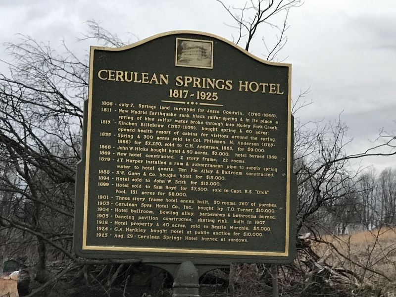
Cerulean Springs Hotel
1817-1925
1806 - July 7, Springs land surveyed for Jesse Goodwin, (1760 1848).
1811 - New Madrid Earthquake sank black sulfur spring & in its place a spring of blue sulfur water broke through into Muddy Fork Creek.
1817 - Kinchen Killebrew (1757-1839), bought spring & 60 acres: opened health resort of cabins for visitors around the spring.
1835 - Spring & 300 acres sold to Col. Philemon H. Anderson (1787-1866) for $2,250, sold to C.H. Anderson, 1865, for $9,000.
1868 - John W. Hicks bought hotel & 50 acres. $2,000, hotel burned 1869.
1869 - New hotel constructed. 2 story frame, 22 rooms.
1879 - J.T. Harper installed a ram & subterranean pipe to supply spring water to hotel guests. Ten Pin Alley & Ballroom constructed.
1888 - S.W. Gunn & Co. bought hotel for $15.000.
1894 - Hotel sold to John W. Stith for $12,000.
1899 - Hotel sold to Sam Boyd for $7,500, sold to Capt. R.S. "Dick" Pool, 131 acres for $8,000.
1901 - Three story frame hotel annex built, 50 rooms, 760' of porches.
1903 - Cerulean Sprs. Hotel Co., Inc.. bought by T.O. Turner, $10,000.
1904 - Hotel ballroom, bowling alley, barbershop & bathrooms burned.
1905 - Dancing pavilion constructed: skating rink built in 1907.
1918 - Hotel property & 40 acres, sold to Bessie Murchie, $5,000.
1924 - G.A. Hankley bought hotel at public auction for $10,000.
1925 - Aug. 29- Cerulean Springs Hotel burned at sundown.
Erected in 1972.
Donaldson
Marker Number: 1892
Location: Donaldson Creek Rd & Maple Grove Rd
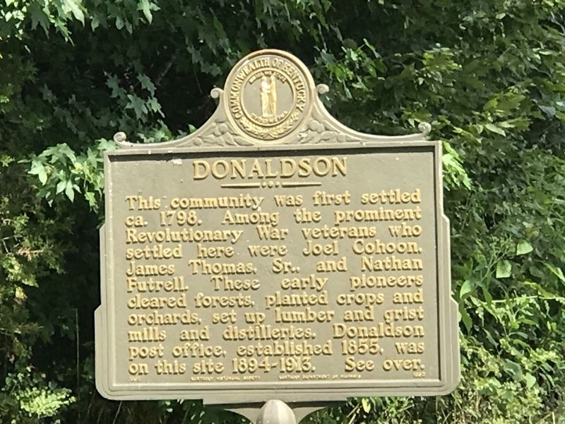
This community was first settled ca. 1798. Among the prominent Revolutionary War veterans who settled here were Joel Cohoon, James Thomas, Sr. and Nathan Futrell. These early pioneers cleared forests, planted crops and orchards, set up lumber and grist mills and distilleries. Donaldson Post office, established 1855, was on this site 1894-1913.
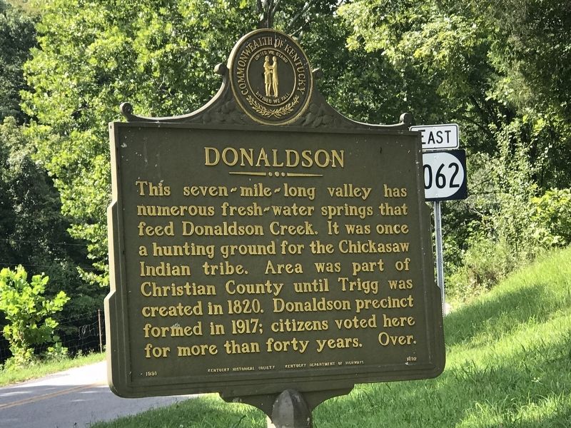
This seven-mile-long valley has numerous fresh-water springs that feed Donaldson Creek. It was once a hunting ground for the Chickasaw Indian tribe. Area was part of Christian County until Trigg was created in 1820. Donaldson precinct formed in 1917; citizens voted here for more than forty years.
Erected in 1798.
Donaldson Creek Baptist Church
Marker Number:
Location: Donaldson Creek Road
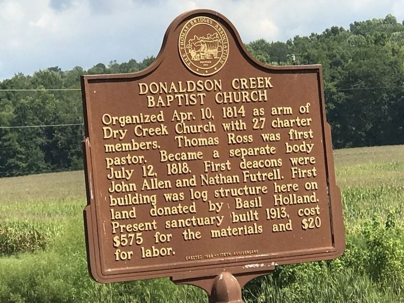
Organized Apr. 10, 1814 as arm of Dry Creek Church with 27 charter members. Thomas Ross was first pastor. Became a separate body July 12, 1818. First deacons were John Allen and Nathan Futrell. First building was log structure here on land donated by Basil Holland. Present sanctuary built 1913, cost $575 for the materials and $20 for labor.
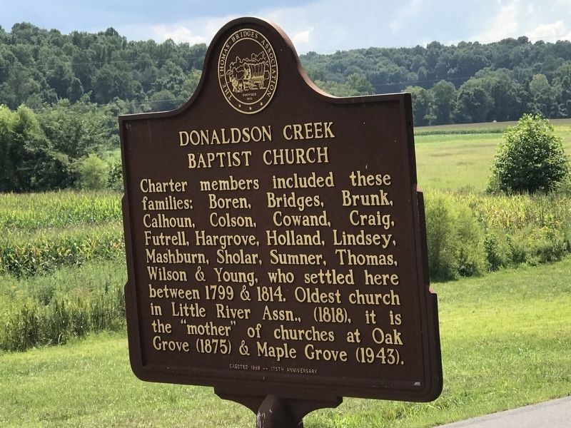
Charter members included these families: Boren, Bridges, Brunk, Calhoun, Colson, Cowand, Craig, Futrell, Hargrove, Holland, Lindsey, Mashburn, Sholar, Sumner, Thomas, Wilson & Young, who settled here between 1799 & 1814. Oldest church in Little River Assn., (1818), it is the "mother" of churches at Oak Grove (1875) & Maple Grove (1943).
Erected in 1989.
James Thomas, Jr.
Marker Number:
Location: Donaldson Creek Road
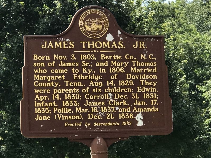
Born Nov. 3, 1803, Bertie Co., N. C., son of James Sr., and Mary Thomas who came to Ky., in 1806. Married Margaret Ethridge of Davidson County, Tenn., Aug. 14, 1829. They were parents of six children: Edwin, Apr. 14, 1830; Carroll, Dec. 31, 1831; Infant, 1833; James Clark, Jan. 17, 1835; Pollie, Mar. 16, 1837, and Amanda Jane (Vinson), Dec. 21, 1838.
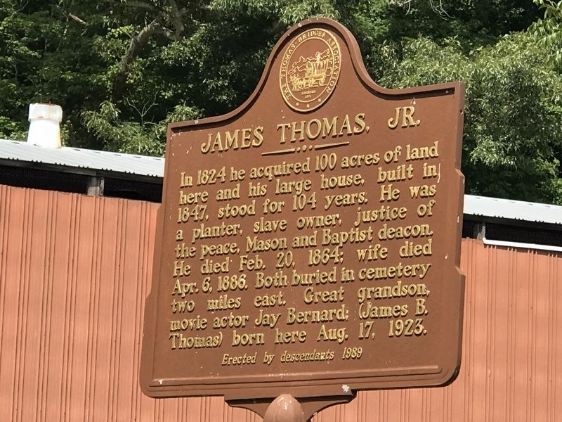
In 1824 he acquired 100 acres of land here and his large house, built in 1847, stood for 104 years. He was a planter, slave owner, justice of the peace, Mason and Baptist deacon. He died Feb. 20, 1864; wife died Apr. 6. 1886. Both buried in cemetery two miles east. Great grandson, movie actor Jay Bernard: (James B. Thomas) born here Aug. 17, 1923.
Erected in 1989.
James Thomas, Sr.
Marker Number: 1375
Location: Donaldson Creek Road & Old Dover Road
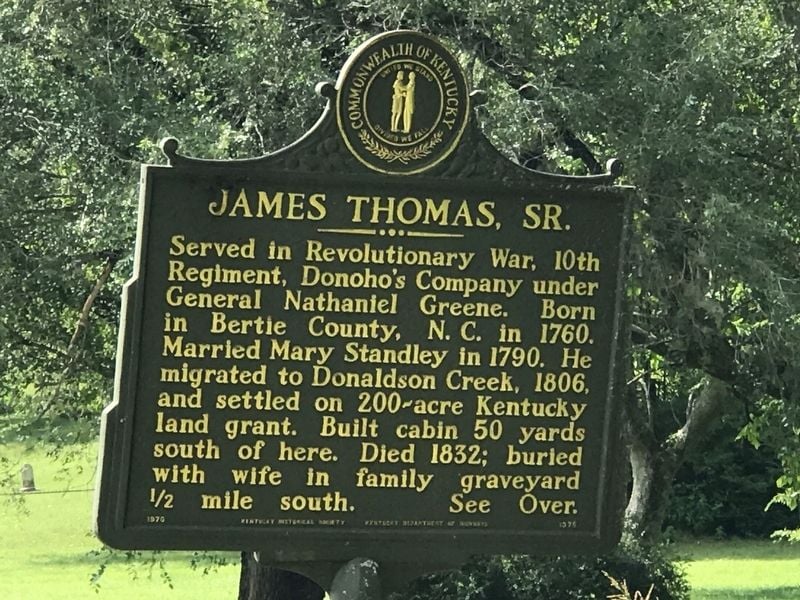
Served in Revolutionary War, 10th Regiment, Donoho's Company under General Nathaniel Greene. Born in Bertie County, N. C. in 1760. Married Mary Standley in 1790. He migrated to Donaldson Creek, 1806, and settled on 200-acre Kentucky land grant. Built cabin 50 yards south of here. Died 1832; buried with wife in family graveyard ½ mile south.
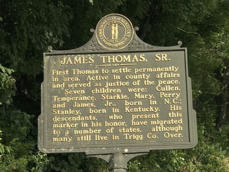
First Thomas to settle permanently in area. Active in county affairs and served as justice of the peace. Seven children were: Cullen, Temperance, Starkie, Mary, Perry and James, Jr., born in N. C.; Stanley, born in Kentucky. His descendants, who present this marker in his honor, have migrated to a number of states, although many still live in Trigg Co.
Erected in 1970.
Lower Donaldson School
Marker Number: 1890
Location: Linton Road and Donaldson Creek Road
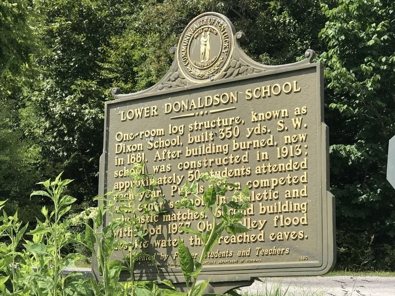
One-room log structure, known as Dixon School, built 350 yds. S. W. in 1881. After building burned, new school was constructed in 1913; approximately 50 students attended each year. Pupils often competed with other schools in athletic and scholastic matches. Second building withstood 1937 Ohio Valley flood despite water that reached eaves.
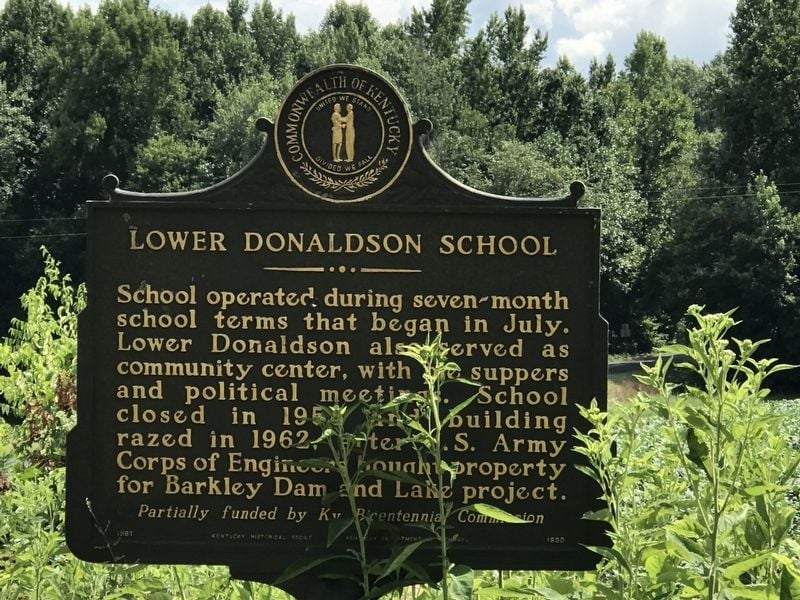
School operated during seven-month school terms that began in July. Lower Donaldson also served as community center, with pie suppers and political meetings. School closed in 1958 and building razed in 1962, after U.S. Army Corps of Engineers bought property for Barkley Dam and Lake project.
Erected in 1991.
Perry Thomas
Marker Number: N/A
Location: Donaldson Creek Road and Sumner King Lane
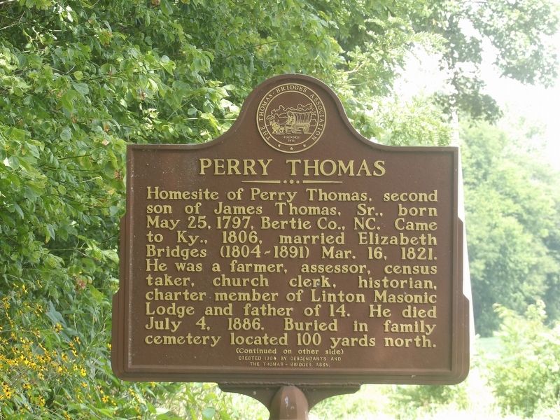
Homesite of Perry Thomas, second son of James Thomas, Sr., born May 25, 1797, Bertie Co., NC. Came to Ky., 1806, married Elizabeth Bridges (1804-1891) Mar. 16, 1821. He was a farmer, assessor, census taker, church clerk, charter member of Linton Masonic Lodge and father of 14. He died July 4, 1886. Buried in family cemetery located 100 yards north.
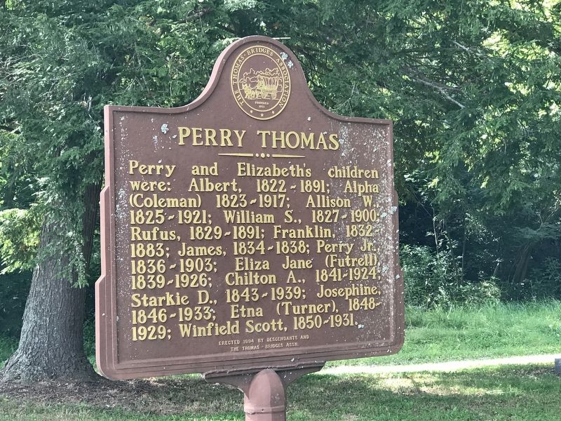
Perry and Elizabeth's children were: Albert, 1822-1891; Alpha (Coleman) 1823-1917; Allison W., 1825-1921; William S., 1827-1900; Rufus, 1829-1891; Franklin, 1832-1883; James, 1834-1838; Perry Jr., 1836-1903; Eliza Jane (Futrell), 1839-1926; Chilton A., 1841-1924; Starkie D., 1843-1939; Josephine, 1846-1933; Etna (Turner), 1848-1929; Winfield Scott, 1850-1931.
Erected in 1994.
Peyton Thomas Cemetery
Marker Number: 1890
Location: On Donaldson Creek Rd, 0.1 miles west of Old Dover Rd, on the right if traveling west.
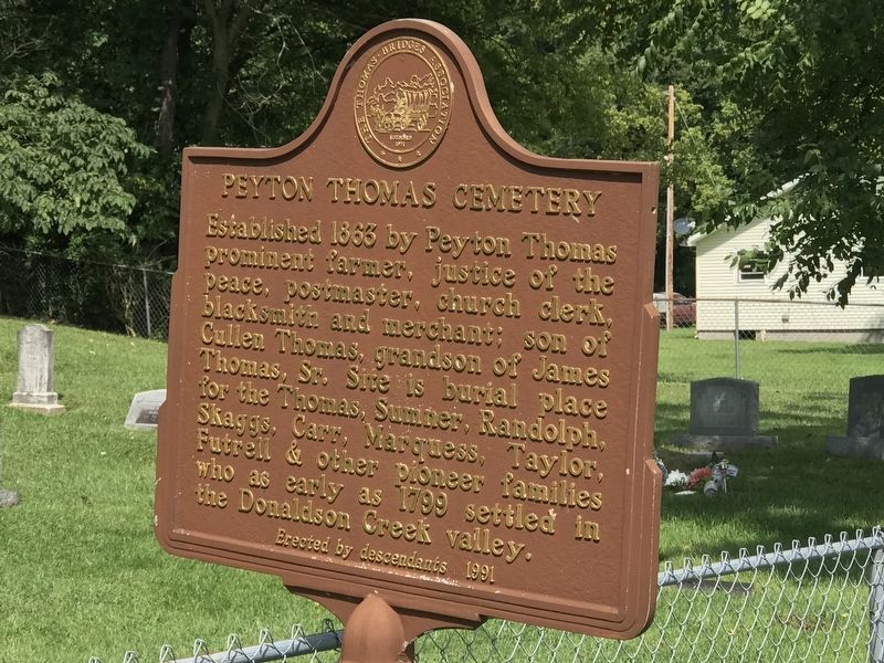
Established 1863 by Peyton Thomas, prominent farmer, justice of the peace, postmaster, church clerk, blacksmith and merchant; son of Cullen Thomas, grandson of James Thomas, Sr. Site is burial place for the Thomas, Sumner, Randolph, Skaggs, Carr, Marquess, Taylor, Futrell & other pioneer families who as early as 1799 settled in the Donaldson Creek valley.
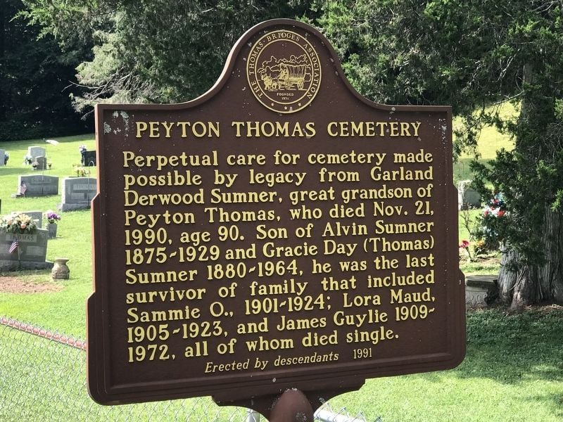
Perpetual care for cemetery made possible by legacy from Garland Derwood Sumner, great grandson of Peyton Thomas, who died Nov. 21, 1990, age 90. Son of Alvin Sumner 1875-1929 and Gracie Day (Thomas) Sumner 1880-1964, he was the last survivor of family that included Sammie O., 1901-1924; Lora Maud, 1905-1923, and James Guylie 1909-1972, all of whom died single.
Erected in 1991.
Thomas's Cabinet Shop
Marker Number: N/A
Location: On Donaldson Creek Rd, ¾ mile east of Maple Grove Road
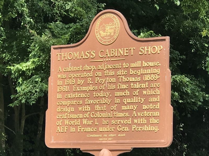
A cabinet shop, adjacent to mill house, was operated on this site beginning in 1919 by R. Peyton Thomas (1889-1961). Examples of his fine talent are in existence today, much of which compares favorably in quality and design with that of many noted craftsmen of Colonial times. A veteran of World War I, he served with the AEF in France under Gen. Pershing.
Erected in 1992.
Thomas's Mill
Marker Number: N/A
Location: On Donaldson Creek Rd, ¾ mile east of Maple Grove Road
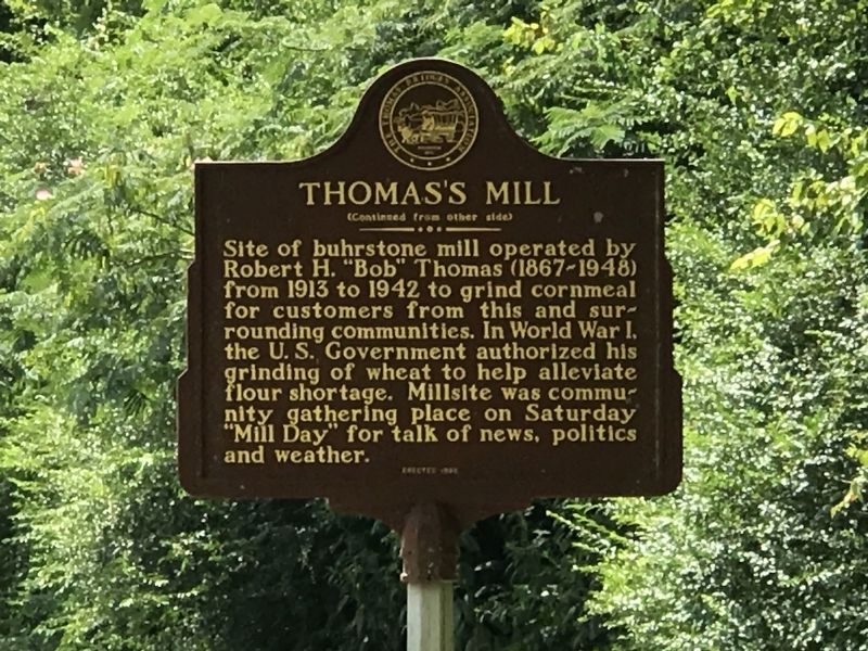
Site of buhrstone mill operated by Robert H. "Bob" Thomas (1867-1948) from 1913 to 1942 to grind cornmeal for customers from this and surrounding communities. In World War I, the U. S. Government authorized his grinding of wheat to help alleviate flour shortage. Millsite was community gathering place on Saturday "Mill Day" for talk of news, politics and weather.
Erected in 1992.
Upper Donaldson School
Marker Number: 1832
Location: On Donaldson Creek Rd, 0.2 miles west of Old Dover Rd, when traveling west.
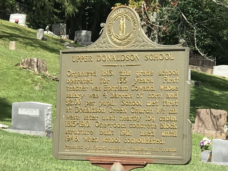
Organized 1813, this grade school operated for 135 years. First teacher was Ephriam Cowand, whose salary was 4 barrels of corn and $2.00 per pupil. School met first at Donaldson Creek Church 1½ mi west: later used nearby log cabin, 1815-1910. One-room concrete block structure built 1911; used until 1948, when school consolidated.
Six generations, beginning with children of first settlers who came to the Donaldson Creek Valley, acquired their primary education here. Many went on to careers in the fields of medicine, politics, religion, music, literature, education, agriculture, industry, and business.
Erected in 1988.

Drummer Boy at 7
Marker Number: 994
Location: County Route 165
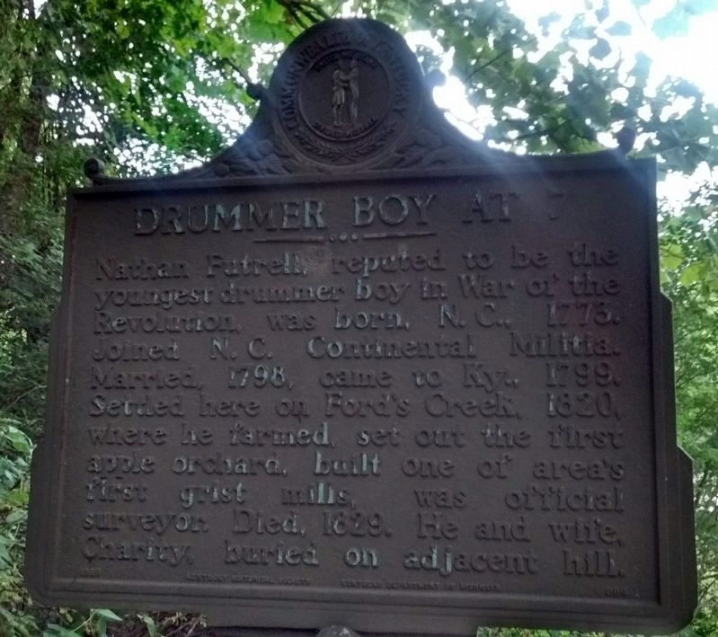
Nathan Futrell reputed to be the youngest drummer boy in War of the Revolution, was born, N.C., 1773. Joined N.C. Continental Militia. Married, 1798, came to Ky., 1799. Settled here on Ford's Creek, 1820, where he farmed, set out the first apple orchard, built one of the area's first grist mills, was official surveyor. Died, 1829. He and wife Charity, buried on adjacent hill.
Erected in 1968.
Golden Pond
Marker Number: 1308
Location: Highway 68 and County Road 160
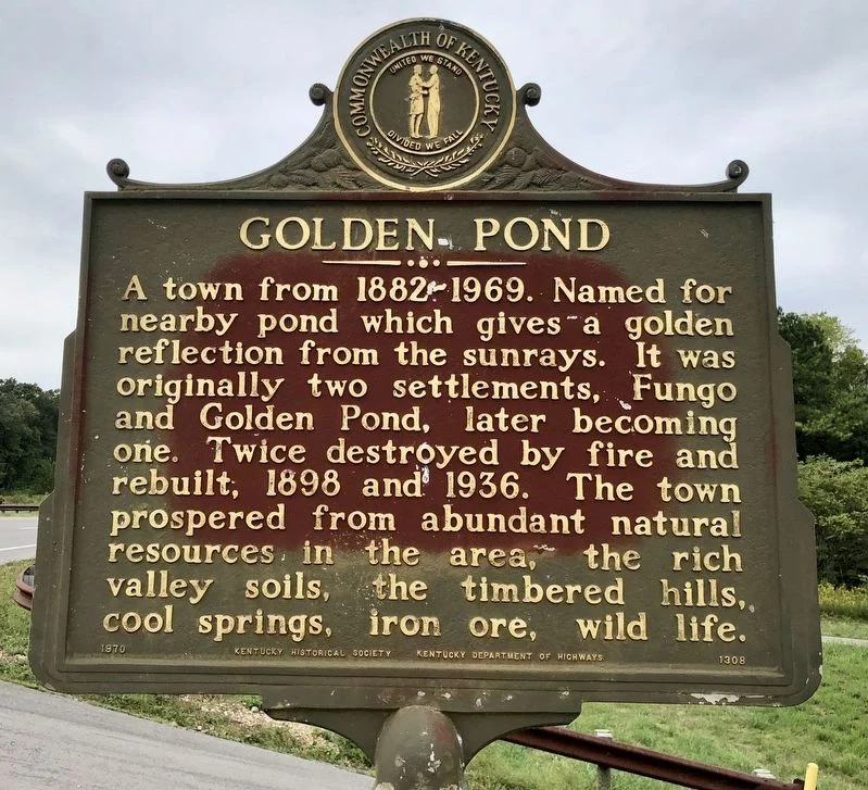
A town from 1882-1969. Named for nearby pond which gives a golden reflection from the sunrays. It was originally two settlements, Fungo and Golden Pond, later becoming one. Twice destroyed by fire and rebuilt, 1898 and 1936. The town prospered from abundant natural resources in the area, the rich valley soils, the timbered hills, cool springs, iron ore, wildlife.
Erected in 1970.
Laura Furnace and Iron Made in Kentucky
Marker Number: 998
Location: Forest Service Road 165
Laura Furnace
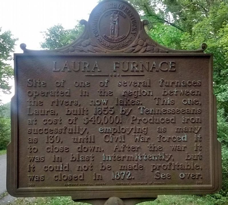
Site of one of several furnaces operated in the region between the rivers, now lakes. This one, Laura, built 1855 by Tennesseeans at cost of $40,000. Produced iron successfully, employing as many as 130, until Civil War forced it to close down. After the war it was in blast intermittently, but it could not be made profitable, was closed in 1872.
Iron Made In Kentucky
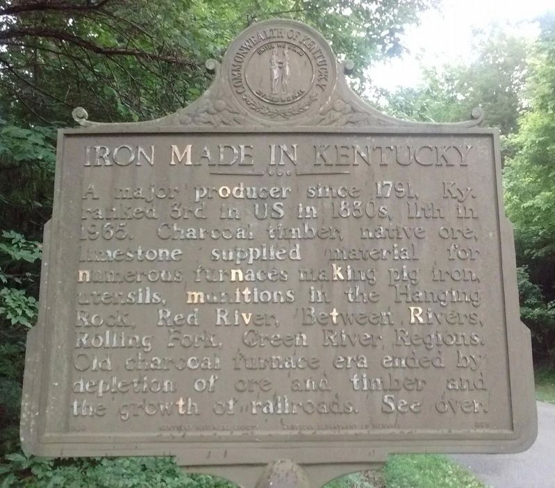
A major producer since 1791, Ky. ranked 3rd in US in 1830s, 11th in 1965. Charcoal timber, native ore, limestone supplied material for numerous furnaces making pig iron, utensils, munitions in the Hanging Rock, Red River, Between Rivers, Rolling Fork, Green River Regions. Old charcoal furnace era ended by depletion of ore and timber and the growth of railroads. See over.
Erected in 1966.
St. Joseph's Parish
Marker Number: 1100
Location: U.S. 68 and County Road 160
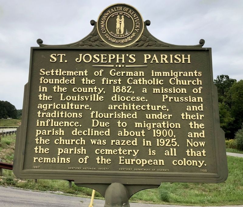
Settlement of German immigrants founded the first Catholic Church in the county, 1882, a mission of the Louisville diocese. Prussian agriculture, architecture, and traditions flourished under their influence. Due to migration the parish declined about 1900, and the church was razed in 1925. Now the parish cemetery is all that remains of the European colony.
Erected in 1967.
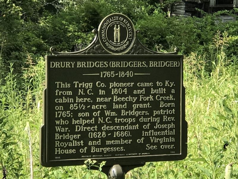
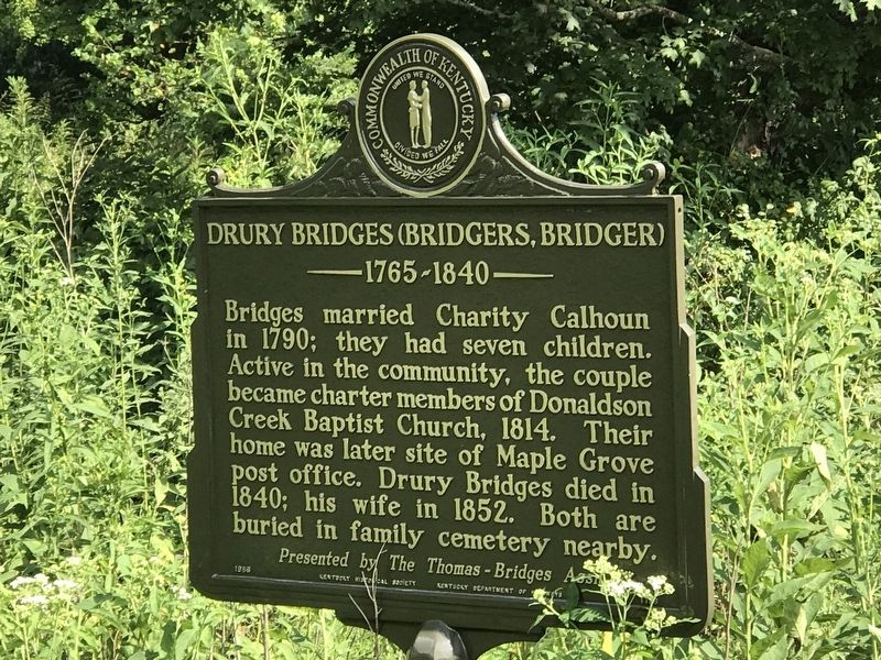
Drury Bridges (Bridgers, Bridger)
Marker Number: 1788
Location: Maple Grove Road, 0.2 miles south of Beechy Fork Road
This Trigg Co. pioneer came to Ky. from N. C. in 1804 and built a cabin here, near Beechy Fork Creek, on 85½ acre land grant. Born 1765; son of Wm. Bridgers, patriot who helped N.C. troops during Rev. War. Direct descendant of Joseph Bridger (1628-1686), influential Royalist and member of Virginia House of Burgesses.
Bridges married Charity Calhoun in 1790; they had seven children. Active in the community, the couple became charter members of Donaldson Creek Baptist Church, 1814. Their home was later site of Maple Grove post office. Drury Bridges died in 1840; his wife in 1852. Both are buried in family cemetery nearby.
Erected in 1986.
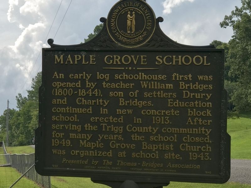
Maple Grove School
Marker Number: 1840
Location: Beechy Fork Road west of Maple Grove Road
An early log schoolhouse first was opened by teacher William Bridges (1800-1844), son of settlers Drury and Charity Bridges. Education continued in new concrete block school, erected in 1913. After serving the Trigg County community for many years, the school closed, 1949. Maple Grove Baptist Church was organized at school site, 1943.
Erected in 1988.
Center Furnace - Iron Made in Kentucky
Marker Number: 1366
Location: Rockcastle Road and Trigg Furnace Road
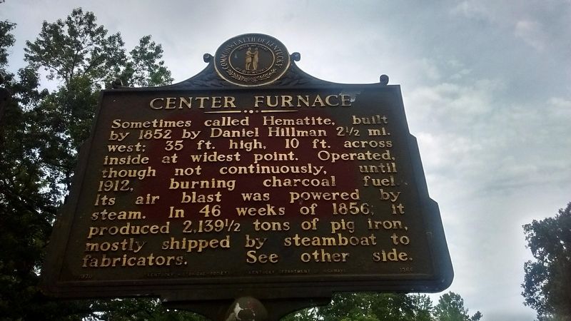
Center Furnace
Sometimes called Hematite, furnace was built by 1852 by Daniel Hillman 2 1/2 mi. west; 35 ft. high, 10 ft. across inside at widest point. Operated, although not continuously, until 1912, burning charcoal fuel. Its air blast was powered by steam. In 46 weeks of 1856, it produced 2,139 1/2 tons of pig iron, mostly shipped by steamboat to fabricators.
Iron Made in Kentucky
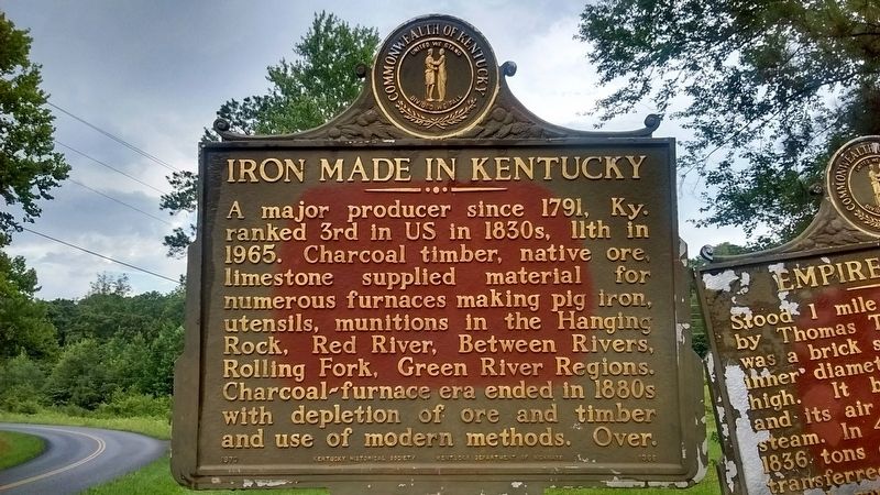
A major producer since 1791, Ky. ranked 3rd in US in 1830s, 11th in 1965. Charcoal timber, native ore, limestone supplied material for numerous furnaces making pig iron, utensils, munitions in the Hanging Rock, Red River, Between Rivers, Rolling Fork, Green River Regions. Charcoal-furnace era ended in 1880s with depletion of ore and timber and use of modern methods. Over.
Erected in 1970.
Empire Furnace - Iron Made in Kentucky
Marker Number: 1357
Location: Rockcastle Road and Trigg Furnace Road
Empire Furnace
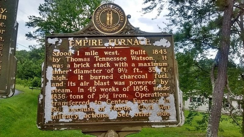
Stood 1 mile west. Built 1843 by Thomas Tennessee Watson, it was a brick stack with a maximum inner diameter of 91/2 ft., 35 ft. high. It burned charcoal fuel, and its air blast was powered by steam. In 45 weeks of 1856, made 1836 tons of pig iron. Operations transferred to Center Furnace in 1861 because of floods, Civil War military actions.
Iron Made in Kentucky
A major producer since 1791, Ky. ranked 3rd in US in 1830s, 11th in 1965. Charcoal timber, native ore, limestone supplied material for numerous furnaces making pig iron, utensils, munitions in the Hanging Rock, Red River, Between Rivers, Rolling Fork, Green River Regions. Charcoal-furnace era ended in 1880s with depletion of ore and timber and use of modern methods. Over.
Erected in 1970.
Trigg Furnace - Iron Made in Kentucky
Marker Number: 1380
Location: Rockcastle Road and Trigg Furnace Road
Trigg Furnace
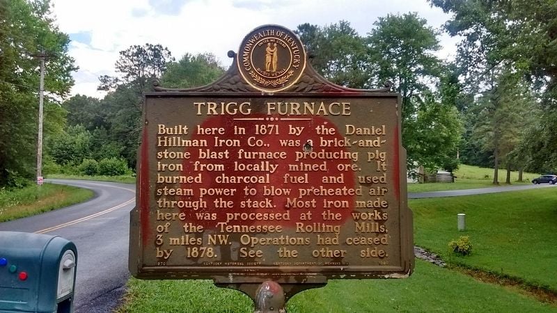
Built here in 1871 by the Daniel Hillman Iron Co., was a brick-and-stone blast furnace producing pig iron from locally mined ore. It burned charcoal fuel, and used steam power to blow preheated air through the stack. Most iron made here was processed at the works of the Tennessee Rolling Mills, 3 miles NW. Operations ceased by 1878.
Iron Made in Kentucky
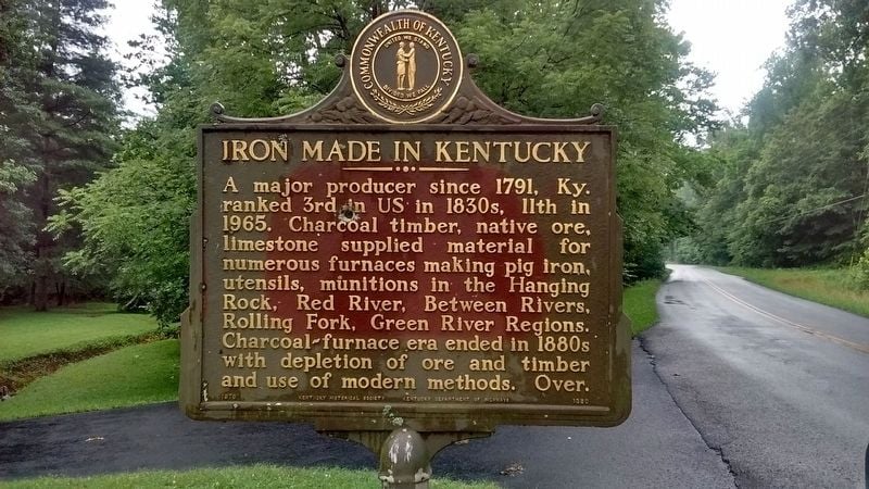
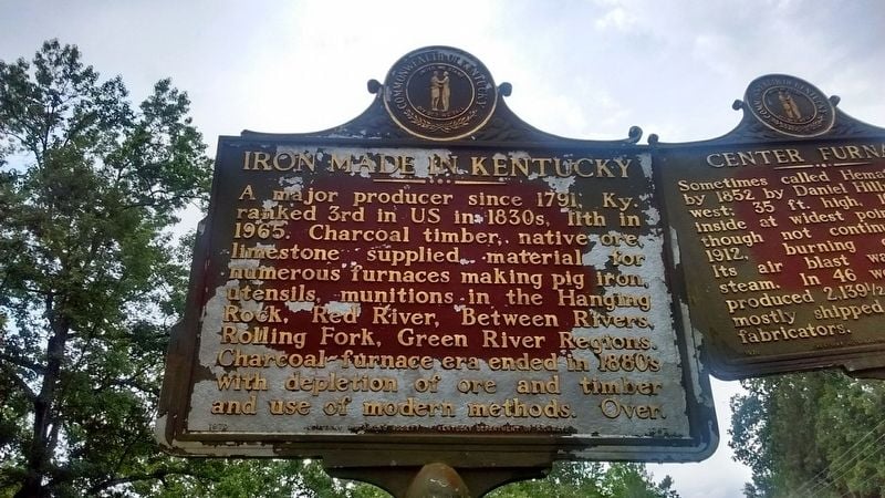
A major producer since 1791, Ky. ranked 3rd in US in 1830s, 11th in 1965. Charcoal timber, native ore, limestone supplied material for numerous furnaces making pig iron, utensils, munitions in the Hanging Rock, Red River, Between Rivers, Rolling Fork, Green River Regions. Charcoal-furnace era ended in 1880s with depletion of ore and timber and use of modern methods. Over.
Erected in 1970.